15Uploads
63k+Views
53k+Downloads
Design, engineering and technology

GIS Rock Art Lesson Plan
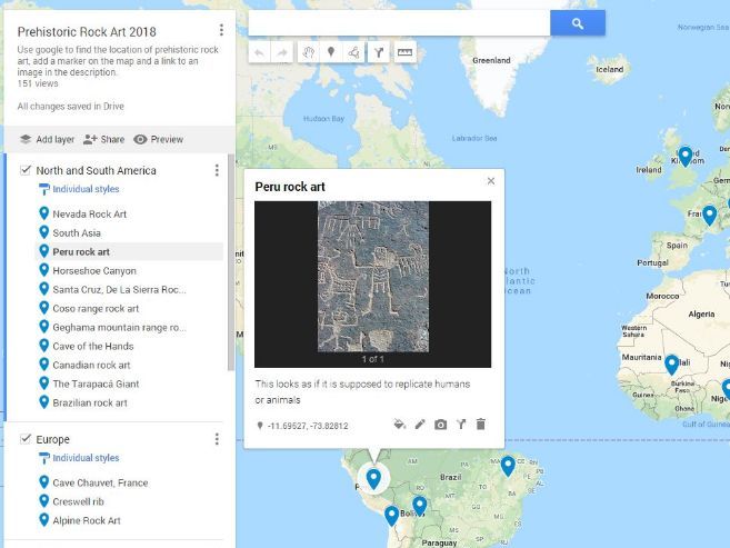
A collaborative lesson plan where the class works together to create a world map of Prehistoric Rock Art. Great to introduce them to GIS on Google Maps and an interesting topic to map. Students use Google Maps to locate examples of prehistoric rock art then “tour” the world comparing the different styles. Lesson plan includes how to set up Google Maps for a smooth lesson start.
This could be differentiated by providing students with examples of rock art to map, rather than getting them to research themselves.

